


Related insights

AI in Supply Chain: A Real-world Case Study on Harnessing AI’s Potential

Breaking it Down: MLOps vs DevOps – What You Need to Know
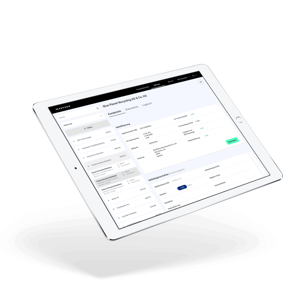
Helping Wasteer innovate the waste industry with a cutting-edge waste management app
Delving into research and opportunities for carbon neutrality in logistics
Energy-efficient Smart Cities: A Research and Opportunity Study for NRI
Providing Data Science Expertise to Help Edge AI Startup Mature and Meet Market Demand

Sustainable Solutions: Green Software Engineering from a Mobile Engineer’s Perspective

A Future of Smart Finance: Exploring AI and ML in Banking and Insurance

Harnessing the Power of Behavioural Data Analytics in the Insurance Industry

AI Revolution in Healthcare: Exploring the Applications and Benefits

Powering AI: Exploring the Best Programming Languages for Machine Learning

Unlocking the Potential: Mastering the Art of AI System Development