
Integrating artificial intelligence with geospatial data has changed how businesses analyse and interpret location-based information. AI-powered tools and algorithms enable faster and more accurate predictions and offer deeper insights into spatial trends.
Geospatial data, combined with data science, reveals how location impacts operations. It enables better decision-making by analysing market trends, regional performance, and potential risks tied to specific areas. For instance, a real estate developer could use geospatial data to find the ideal location for the next convenience store.
Logistics software uses geospatial data to optimise delivery routes, reduce travel times, and ensure products arrive on time. Mapping the most efficient paths and avoiding traffic congestion helps cut fuel costs, lower vehicle expenses, and keep drivers safe.
Geospatial data helps businesses identify market gaps and areas for expansion. This data reveals new customer segments, highlights ideal store locations, and uncovers untapped growth opportunities, enabling companies to make confident, data-driven decisions about growth.
Businesses can use geospatial data to track and analyse customer behaviour based on location. By refining marketing campaigns, adjusting product offerings, and delivering personalised experiences, companies can enhance the customer experience and drive greater engagement and satisfaction.
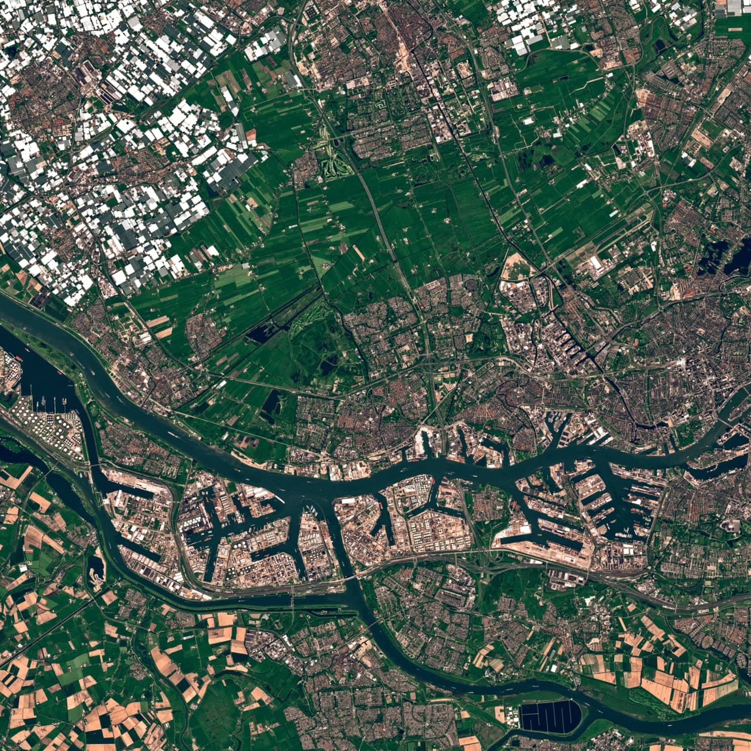
Applications of geospatial data
Site selection and urban planning
Geospatial data is applied in various ways to help governments manage urban growth and promote economic development with government solutions. This includes decisions about where to place emergency services like police and fire stations, construct parks, and maintain transportation networks and utility systems.
Geospatial data allows urban planners to plan cities and communities more effectively. By considering data on building locations, population density, and transportation routes, planners can create environments that are accessible, efficient, and conducive to growth. Furthermore, geospatial data is not limited to retail or urban planning — it can be leveraged by businesses across industries to understand their physical surroundings, from optimising delivery routes to assessing environmental impacts.
Investment research and competitive intelligence
Companies analyse competitor locations in relation to local market metrics such as population density, income levels, and retail presence. Geospatial technologies allow businesses to conduct this analysis more precisely and efficiently, helping them identify the most promising locations. Companies that leverage geospatial information for site selection typically outperform those relying on less data-driven methods.
Intelligent automation processes complex data sets quickly. Modern data platforms can analyse millions of location data points within minutes, providing real-time market intelligence. Leading retailers increasingly use automated geospatial tools to optimise their store networks and improve location performance.
Risk assessment and trade area analysis
Risk assessment identifies hazards that could affect an organisation's operations. It focuses on natural disasters, such as earthquakes, floods, or hurricanes, and location-specific risks. Visual tools like risk maps, heat maps, and spatial models help with disaster planning, resource distribution, and stakeholder communication, ensuring decisions are made quickly and with the correct information.
Companies conduct various types of market research to understand their customers' needs. They often use a trade area analysis to determine where to reach customers. This process studies the economic activity in a particular area to identify the best locations for new stores. Trade area analysis examines an area from different perspectives to determine whether it aligns with a company's business strategy. It is a simple and accurate way to assess an area's market potential.
Geospatial analysis: techniques and tools
Geospatial data analysis uses geographical information to uncover patterns, relationships, and trends between spatial features. It answers questions like where phenomena occur, how human activities impact the environment, and how populations are distributed. This analysis uses advanced tools such as Geographic Information Systems (GIS), remote sensing, and spatial Extract, Transform, Load (ETL) processes to derive insights from location-based data.
- GIS technology captures, stores, and visualises spatial data, helping businesses and researchers identify spatial relationships. It aids in mapping data, such as tracking supply chains or demographic distributions.
- Remote sensing helps monitor land use, environmental changes, and urban growth. Agricultural businesses use it to assess crop health, often relying on agriculture software solutions to analyse remote sensing data for better decision-making. Similarly, urban planners utilise this technology to track infrastructure development efficiently.
- Spatial ETL involves extracting, transforming, and loading data from multiple sources into a usable format. It ensures that spatial data is cleaned, standardised, and ready for analysis, enabling analysts to combine datasets like GPS coordinates and satellite imagery.
- Expertise and software: Effective geospatial data analytics requires specialised software tools like ArcGIS and QGIS, remote sensing tools like Google Earth Engine, and expertise in spatial data interpretation to derive accurate, actionable insights.
Geospatial data analysis has broad applications across industries, from retail software and logistics to healthcare and urban planning.
Geographic data management
Geographic data management involves organising, storing, and processing spatial data using GIS. Geospatial data includes information about the location, shape, and identity of objects like roads and buildings, represented through points, lines, and polygons, with metadata detailing coordinates and projections. GIS software converts raw spatial data into visual maps, making it easier to interpret and analyse.
Effective geographic data management integrates data from diverse sources and ensures data from different formats and projections align correctly, enabling the visualisation of spatial relationships. This process supports informed decision-making in urban planning, infrastructure maintenance, and environmental monitoring, where accurate spatial data is essential.
Check out this research: How to Put Your Geospatial Data to Work with ELEKS' GIS Platform
Network planning and optimisation
Network planners use geospatial data to place infrastructure in optimal locations. The mapping technology reveals ideal spots for cell towers, routers, and WiFi access points. Companies plot signal coverage areas to eliminate dead zones and boost network performance. Interactive maps transform complex network data into clear visuals. Operations teams track assets and monitor network health through detailed geographic displays. These visual tools help identify bottlenecks and guide infrastructure upgrades.
Strategic infrastructure placement ensures reliable service delivery across urban and rural areas. The result is a robust network that meets growing connectivity demands.

Data accuracy and quality: ensuring data integrity
Accuracy is crucial when working with geospatial data because even minor errors can have serious consequences. For instance, precise data is vital when mapping infrastructure like gas pipelines to avoid potential hazards.
No measuring instrument is perfect. Tools like lasers and GPS systems are generally accurate but can still be subject to errors due to environmental factors, technological limitations, or human mistakes. Therefore, it's essential to regularly assess the data quality and accuracy to ensure it meets the required standards.
Understanding data accuracy also helps us determine how much trust we can place in the results. It ensures that the outcomes fit their intended purpose. Regular evaluation is key to maintaining high-quality data that can be used confidently.
Emerging trends and technologies
The volume of geospatial data grows with the rise of big data and the Internet of Things (IoT). Emerging technologies like AI and machine learning interpret vast amounts of spatial data and streamline data processing, improving automation and uncovering patterns that were previously difficult to detect.
Geospatial data plays a critical role in shaping the future of many industries, from urban planning to environmental monitoring and beyond. An important aspect of this data is that it allows the creation of innovative solutions, improves operational efficiency, and addresses complex logistics, agriculture, and disaster management challenges. Integrating geospatial data will become essential for driving future growth and opportunities as these technologies evolve.

Related Insights


The breadth of knowledge and understanding that ELEKS has within its walls allows us to leverage that expertise to make superior deliverables for our customers. When you work with ELEKS, you are working with the top 1% of the aptitude and engineering excellence of the whole country.

Right from the start, we really liked ELEKS’ commitment and engagement. They came to us with their best people to try to understand our context, our business idea, and developed the first prototype with us. They were very professional and very customer oriented. I think, without ELEKS it probably would not have been possible to have such a successful product in such a short period of time.

ELEKS has been involved in the development of a number of our consumer-facing websites and mobile applications that allow our customers to easily track their shipments, get the information they need as well as stay in touch with us. We’ve appreciated the level of ELEKS’ expertise, responsiveness and attention to details.